
Homepage
/
Map – TUS
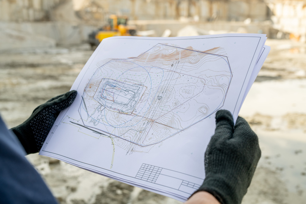
Map - TUS
Emtek Metal provides precise and accurate mapping solutions within the scope of TUS (Topographic and Remote Sensing) projects. We ensure high accuracy and reliability for all your mapping needs, from industrial facility layout plans to land surveys. We complete your projects on time and in full using modern measurement techniques and our team of experts.
Our TUS services are supported by field analysis, data collection, and advanced technology software. This ensures that your projects are both technically accurate and efficient in the planning process. Our goal is to meet customer expectations with maximum precision in measurement and mapping processes.


Our mapping and TUS projects provide reliable and accurate measurements for your land and facility analyses. We simplify the planning and implementation processes of your projects with modern software and hardware support.
- High-precision measurement and mapping
- Topographic and industrial land analyses
- Use of advanced technology software and hardware
- Fast and reliable data collection
- Maximum efficiency in planning processes

At Emtek Metal, we offer comprehensive solutions for TUS and mapping projects, from field analysis to data interpretation. We complete your projects safely and accurately with precise measurements tailored to our customers’ needs, making a difference in your industrial and land planning processes.